
The End Crowns the Work
Jeffrey here.
I gagged Joey.
Today, I get the last word.
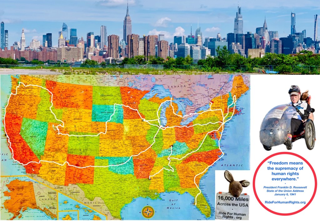
I reckon that in a cumulative 9 months on the road, I talked about immigration, refugees and asylum with over two thousand people; reached tens of thousands on TV, in print and online; and showed the flag for human rights from coast to coast to many thousands more.
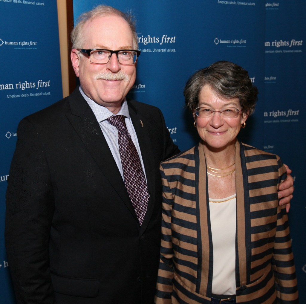
Through 13 years and 14 installments of the Ride for Human Rights, generous people donated over a half million dollars to Human Rights First. Click here to join them; it’s not too late!
Donors will receive a Capstone Ride souvenir postcard signed by Joey and me.
We couldn’t have done it without YOU.
Who are “YOU”?
YOU are my Nancy, first & forever. My children, Deena, Rebecca, Benjamin, & their spouses—all six work to repair the broken world. My five little grandchildren. Family and friends around the planet. New friends I made on the road. Donors to HRF through the Ride. Ride blog readers, “likers” and commenters. Human Rights First supporters and staff.
I owe special thanks to Kathy Jones, formerly of HRF, who took my call in 2010 when I proposed the Ride to Iowa. She backed me with kind enthusiasm on Ride after Ride, seeing me off at the crack of dawn and welcoming me home.

After I accepted my first asylum case in 1983, people from around the world (yellow countries on the map) showed up at my door.
As the Beatles sang in The Inner Light (1968), I arrived without traveling.
“Without going out of my door / I can know all things of earth”
My eyes were opened by the people who came to me.
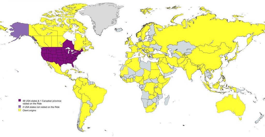
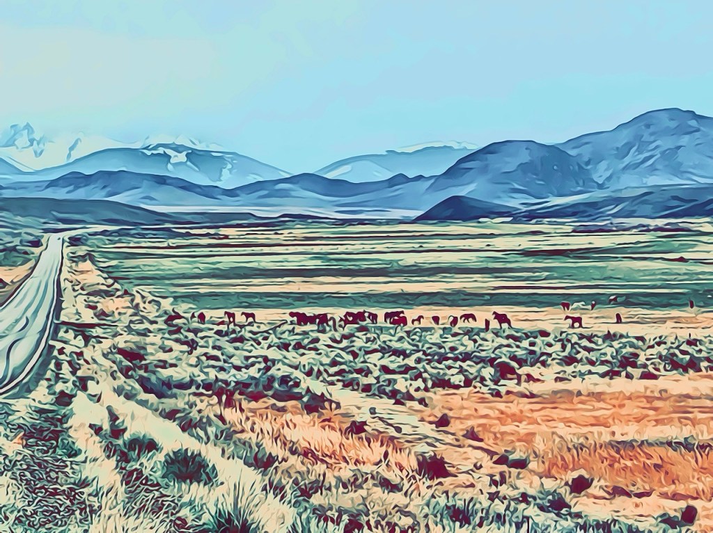
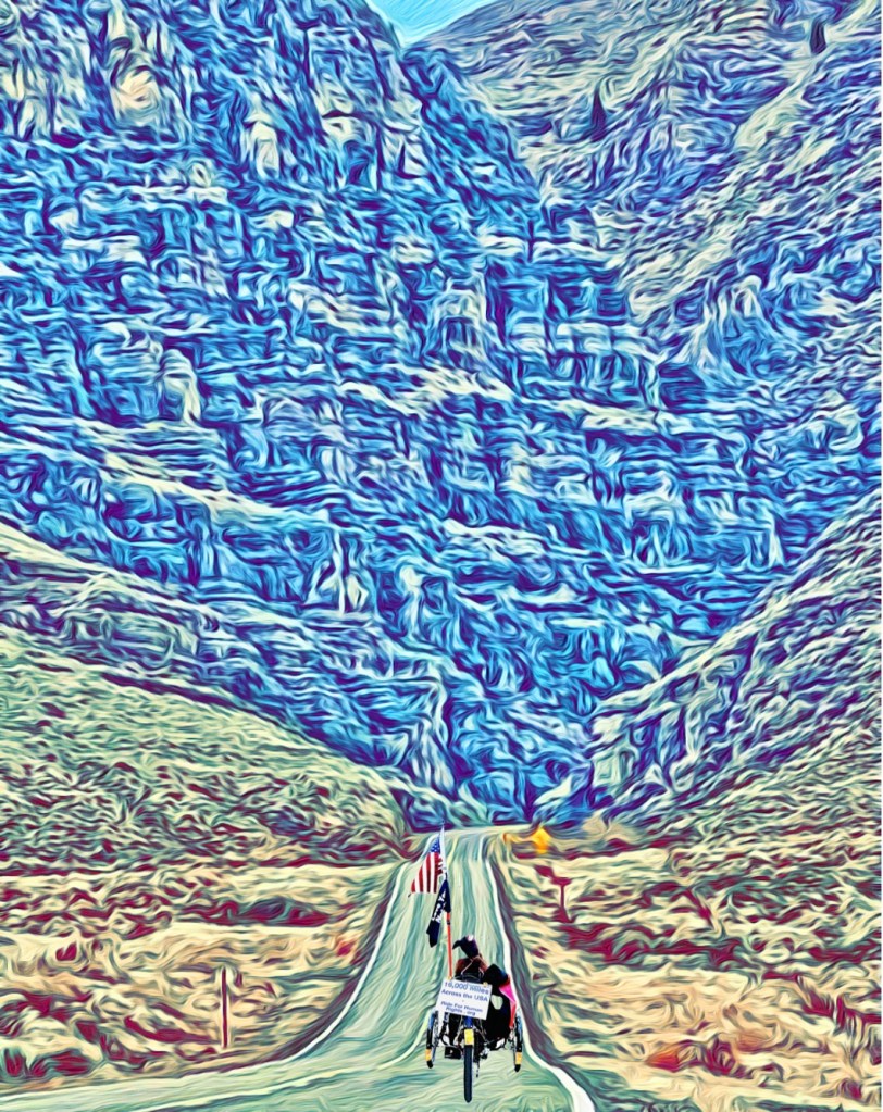
Beginning in 2011, I turned the tables, bicycling to the people of North America in all of the Lower 48 United States, Washington DC, and Ontario, Canada (purple on the map).
My eyes were opened by the people I traveled to see.
It’s unreal to me that I conceived this project—and notwithstanding injury and illness, weather and pandemic, and the dangers for cyclists in a country built for motorists, that I completed it.
Every day, I think of the journey. The wonders of our country. The intelligence and industry of our neighbors, whether born here or abroad. Their openmindedness and kindness to a stranger.
That journey, now ended, is like a dream. Dreams of …


(Sigh.)
Kenny Rogers sang in The Gambler (1978),
“know when to hold ‘em, know when to fold ‘em, know when to walk away, know when to run”
It’s time to walk away and start a fresh adventure.
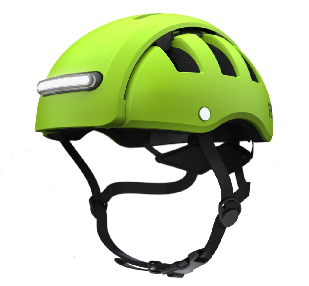
Here’s my new headgear.
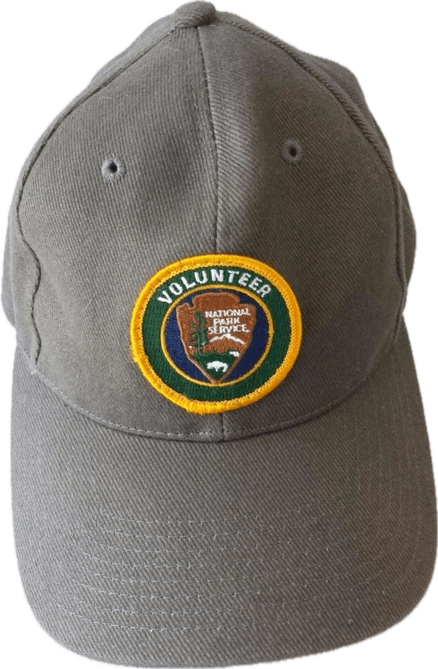
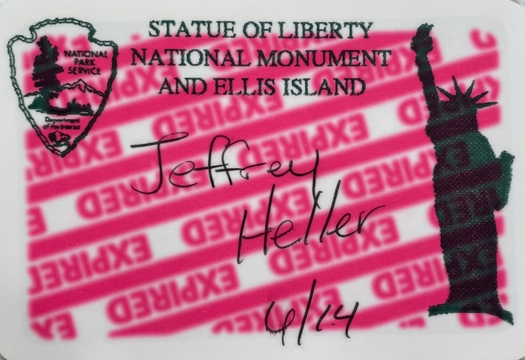
And my new badge.

I will be a National Park Service V.I.P.
Volunteer In Park.
Where?
At the Statue of Liberty National Monument, which includes Ellis Island’s National Museum of Immigration.
Liberty Island and Ellis Island are essential foundations of our country’s character. They helped create modern America.
My task: to help Park Rangers interpret the sites for visitors.
I’ll be an advocate for the NPS and for America. I’ll help visitors with practical problems, like where to find the ferries and toilets. And when asked, I’ll be a guide to history.
I will miss cycling through OUR country among OUR people. (Everyone who lives here is one of OURS.)
Yet being a V.I.P. is a fine sequel to the Ride for Human Rights.
At the National Monument I will be among people from across the United States and around the world.
Stop by and say hi!
As the Moody Blues sang in 1969, it will be
“lovely to see you again, my friend / Walk along with me to the next bend / Tell us what you’ve seen / In far away forgotten lands / Where empires have turned back to sand”
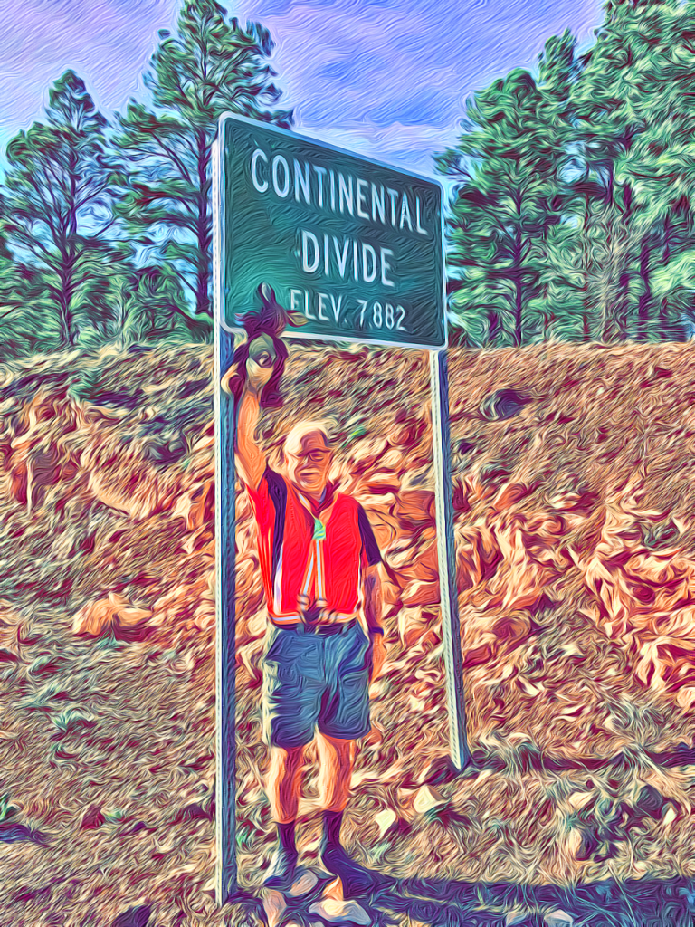
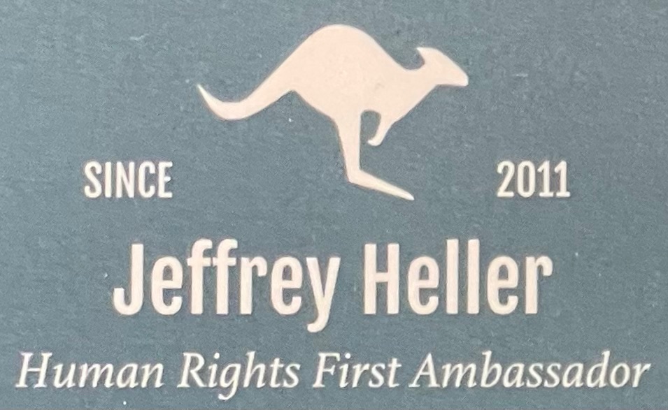
The Kangaroo Court Puppet—after 33 years of training videos, dozens of speeches and lectures, a TV appearance, 394 blog posts, over 13,000 photos and 16,000 miles (26,000 km) on the Rides—will move on alone.
I look forward to my new—puppet-less—journey.
This time, with Nancy.
Nancy, my friend for 50 years, my very best friend for the most recent 45 of them, my love, my star athlete, the brains and beauty of our duo, hasn’t long-distance cycled since the 1970s. She worried, alone, while I criss-crossed the country by bike. Out on the road, in the moment, I could tune out danger, tamp down fear. Nancy, imagining the worst, could not.
The Ride was harder for her than for me.
We’ll travel the next roads together.
That’s the best ending of all.
• סוף •
